
We specialize in hard to find items

All Categories


Los Padres National Forest West Map (National Geographic Trails Illustrated Map, 813)
Share Tweet
*Price and Stocks may change without prior notice
*Packaging of actual item may differ from photo shown
- Electrical items MAY be 110 volts.
- 7 Day Return Policy
- All products are genuine and original
- Cash On Delivery/Cash Upon Pickup Available


About Los Padres National Forest West Map
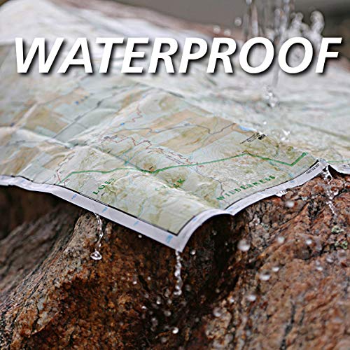
Product Description • Waterproof • Tear-Resistant • Topographic Map Los Padres National Forest contains a wide range of ecosystems, from seacoast and marine habitats to redwood forests, mixed conifer forests, oak woodlands, grasslands, pinyon juniper stands, chaparral and semi-desert areas, which are home to more than 486 fish and wildlife species. Explore this diverse and scenic region in detail with National Geographic's Trails Illustrated map of Los Padres National Forest West. Created in partnership with local land management agencies, this expertly researched map highlights many key areas of interest including Gaviota State Park; Pismo, Refugio and El Capitan state beaches; Lake Cachuma; Chumash Painted Cave State Historic Park; Sisquoc Wild and Scenic River; Oceano Dunes State Vehicular Recreation Area; and Santa Margarita Lake Regional Park. This map can guide you off the beaten path and back again with miles of mapped trails including trails for hiking and horseback riding, as well as ATV and motorcycle use. The San Marcos Pass Road and San Luis Obispo North Coast scenic byways are noted for those wishing to take in the scenery by car. Many recreation features are noted as well, including campgrounds, trailheads, OHV staging areas, horse camps, Frisbee golf, boat launches, and fishing, windsurfing, and swimming areas. The map base includes contour lines, shaded relief, and elevations for summits, passes, and many lakes. Every Trails Illustrated map is printed on "Backcountry Tough" waterproof, tear-resistant paper. A full UTM grid is printed on the map to aid with GPS navigation. Other features found on this map include: Arroyo Grande, Cuyama River, Garcia Wilderness, Goleta, Grover Beach, Irish Hills, La Panza Range, Lake Cachuma, Los Padres National Forest, Machesna Mountain Wilderness, Point San Luis, Purisima Hills, San Luis Obispo, San Luis Obispo Bay, San Rafael Mountains, San Rafael Wilderness, Santa Lucia Wilderness, Santa Margarita Lake, Sierra Madre Mountains, Sisquoc River, Timber Peak. Map Scale = 1:80,000 Sheet Size = 25.5" x 37.75" Folded Size = 4.25" x 9.25" About the Author Founded in 1915 as the Cartographic Group, the first division of National Geographic, National Geographic Maps has been responsible for illustrating the world around us through the art and science of mapmaking.Today, National Geographic Maps continues this mission by creating the world's best wall maps, recreation maps, atlases, and globes which inspire people to care about and explore their world.


