We specialize in hard to find items

All Categories


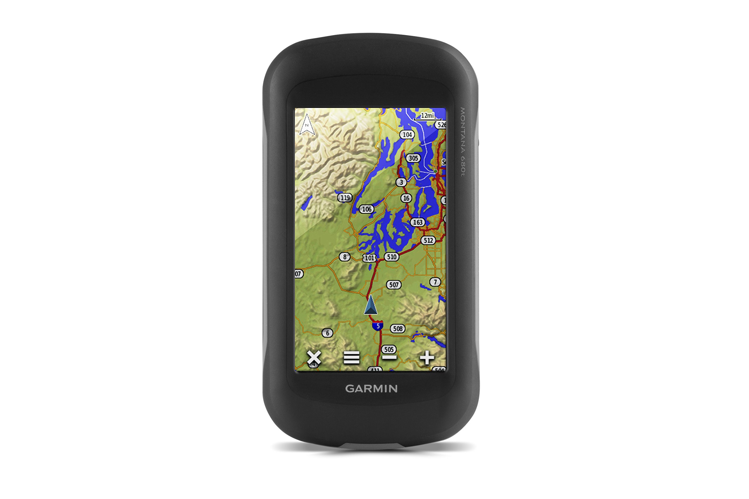


Garmin Montana 680t, Touchscreen Hiking Handheld, GPS/GLONASS and Preloaded TOPO Maps, 8 Megapixel Camera
Share Tweet
of brand new stock?
or
Need this item ASAP?
Check if this is available on Amazon
or available in other sites
Send us the link so we can buy for you


Garmin Montana 680t, Touchscreen Hiking Features
-
SEE YOUR SURROUNDINGS - Includes a 1-year Birdseye Satellite Imagery subscription1
-
GPS AND GLONASS - With its high-sensitivity, WAAS-enabled GPS receiver, Hotfix satellite prediction and GLONASS support, Montana locates your position quickly and precisely and maintains its location even in heavy cover and deep canyons
-
TRACK MANAGER - Ability to organize and navigate through waypoints/routes/track logs (easily start/stop recording track logs)
-
CAPTURE THE MOMENT - 8 megapixel digital camera for higher quality images and better resolution; geotagged with coordinates automatically, allowing you to
About Garmin Montana 680t, Touchscreen Hiking
Montana 680t features a dual-orientation, color touchscreen thats glove friendly, comes preloaded with TOPO U.S. 100K maps and includes a 1-year BirdsEye Satellite Imagery subscription. The digital camera provides high-quality images, excellent resolution and automatically geotags photos with coordinates. The handheld includes 3-axis tilt-compensated compass, barometric altimeter and access to both GPS and GLONASS satellites for improved positioning and typically faster fixes.