All Categories


Garmin GPSMAP 66sr, Hiking Handheld with Expanded GNSS and Multi-Band TechnologyHandheld, 3" Color Display (010-02431-00) , Black
Share Tweet
*Price and Stocks may change without prior notice
*Packaging of actual item may differ from photo shown
- Electrical items MAY be 110 volts.
- 7 Day Return Policy
- All products are genuine and original


Garmin GPSMAP 66sr, Hiking Handheld with Expanded Features
-
Large 3” sunlight-readable color display for easy viewing
-
Expanded global navigation satellite systems (GNSS) and multi-band technology allow you to get optimal accuracy in challenging locations, including steep country, urban canyons and forests with dense trees
-
Powered by internal Li-ion rechargeable battery, with up to 36 hours battery life in Standard Mode and up to 450 hours in Expedition Mode.
-
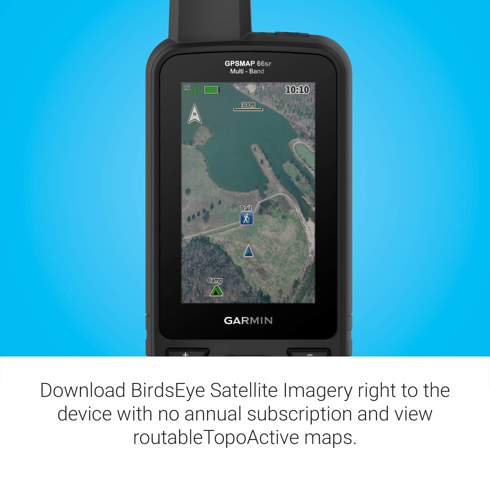
Access to BirdsEye Satellite Imagery with direct downloads and no annual subscription plus routable TopoActive mapping and federal public land map (U.S. only)
-
Go-anywhere navigation with 3-axis compass and barometric altimeter
About Garmin GPSMAP 66sr, Hiking Handheld With Expanded
Find your way in this big, wide world with GPSMAP 66sr. This premium, rugged handheld offers multi-band technology and expanded GNSS support for optimal accuracy in steep country, urban canyons and forests with dense trees. It has a 3” color display, and it’s packed with ABC (altimeter, barometer and compass) sensors, routable TopoActive mapping and subscription-free BirdsEye Satellite Imagery with unlimited direct-to-device access via Wi-Fi wireless networking. Wireless connectivity through BLUETOOTH and ANT+ technologies provides Active Weather and Geocaching Live updates, and compatibility with the Garmin Explore app (compatible smartphone required) gives you offline access to cloud-based route planning.


